Address: 12 Oladoyinbo Street, Aguda-Ogba, Lagos, Nigeria Phone: +234 (0)7065244008  |  info@sealmatics.com  |  Careers
UAV & Drone Technology

We Map the Inaccessible
from Above

Our survey-grade UAVs capture centimetre-accurate aerial data across terrain no ground crew can safely reach saving days of field time and significant project costs.

Photogrammetry · LiDAR · Orthomosaics · 3D Point Clouds
Total Station & Theodolite

Precision Ground Surveys
on Every Scale

From sub-division layout to large infrastructure setting-out our surveyors deploy total stations and GPS rovers for millimetre-level accuracy in the field.

As-Built · Setting-Out · Topographic · Cadastral Surveys
GIS & Geospatial Analysis

Intelligent Maps
for Better Decisions

We process raw survey data into powerful GIS deliverables — interactive maps, spatial databases, and terrain models that drive smarter infrastructure planning.

GIS · DTM · Land Information Systems · Spatial Databases
Engineering & Construction

Engineered for Optimum
Cost-Effective Delivery

Sealmatics supports every stage of construction, from feasibility surveys and setting-out to as-built verification and deformation monitoring of high-rise structures.

Setting-Out · Deformation · QA/QC · As-Built Verification
Hydrographic Survey

Mapping Nigeria's Waterways
& Offshore Sites

Our hydrographic survey team handles rivers, harbours, coastlines, and offshore infrastructure — delivering bathymetric charts and seabed models to international standards.

Bathymetry · Dredging · Port & Harbour · Offshore Mapping
1 / 5
17+
Years of Excellence
Est. 2007, Lagos
23+
Specialist Survey
Service Types
22
Industry Awards
& Recognitions
Global
International Partners
Across the Globe
International Standards
All projects meet national & global procurement standards
Drone & Satellite Tech
UAV photogrammetry, LiDAR, and satellite imagery
On-Time Delivery
Consistently delivering projects ahead of schedule
Expert Professionals
Seasoned surveyors with deep field & technical knowledge
Survey team in the field
GIS on laptop

An Indigenous Company with Global Reach

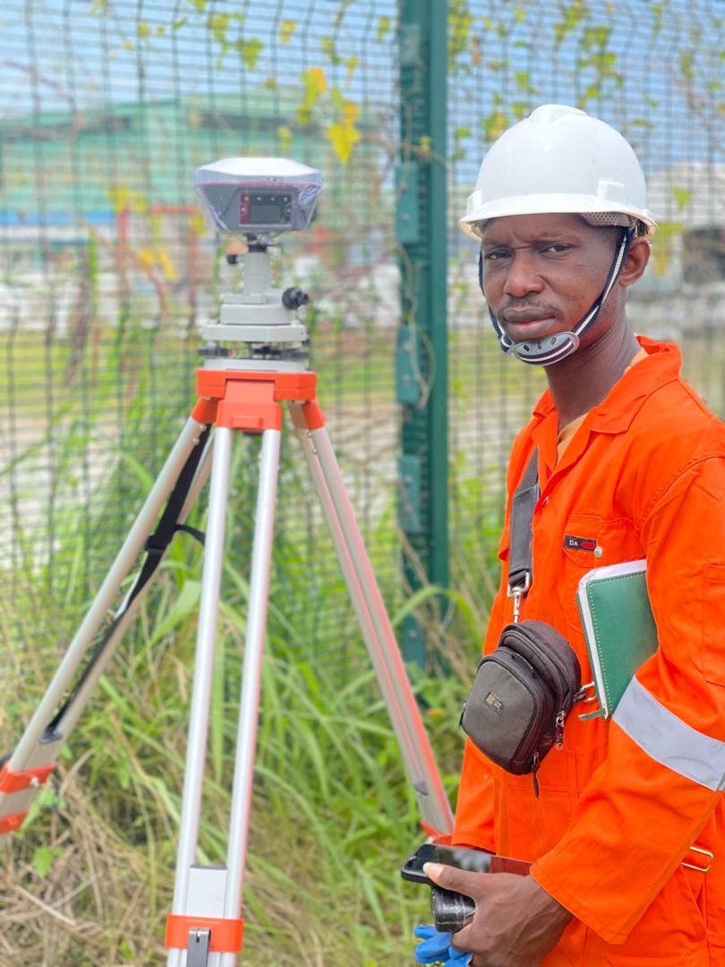
Sealmatics Surveys Consultants Ltd is a Nigerian company with international partners across the globe. Since 2007, we have built an outstanding reputation in surveying, mapping, geospatial analysis, and construction engineering.

We adhere strictly to both national and international standards on project procurement and delivery — no matter the scale. Our automated technology and experienced professionals give us a consistent edge.

Our SEAL Values
S
Selflessness in every client engagement
E
Efficiency and cost-effective delivery
A
Automated information generation
L
Loyalty and commitment to clients
Learn More About Us Contact Us

Our Core Services

View All 23 Services →

Survey Instruments We Deploy

View All Technology →
Aerial
Survey-Grade Drones
RTK/PPK UAVs with LiDAR & RGB payloads
Ground
Total Station
Precise angle & distance measurement
Satellite
GNSS & RTK Systems
Multi-constellation centimetre positioning
Data
GIS Software
ArcGIS, QGIS, custom spatial databases

Trusted by Clients Across Nigeria

★ ★ ★ ★ ★

"Their automated equipment enabled prompt delivery of our as-built survey. I can recommend them for your surveying project without hesitation."

RO
Rotimi O.
Construction Client
★ ★ ★ ★ ★

"From the first phone call, their knowledge about property survey was very obvious. Their prompt delivery of documents is unprecedented."

FO
Femi & Oluwafunmilayo
Property Owners
★ ★ ★ ★ ★

"SCL completed our sub-division work before the scheduled deadline. I guarantee their competence — they have never disappointed."

UH
Uche H.
Property Developer
Client Logo 1 Client Logo 2 Client Logo 3 Client Logo 4 Client Logo 5 Client Logo 6

Ready to Map Your Next Project?

Whether it's a land boundary, offshore survey, or complex geospatial analysis — our team is ready.

Request a Quick Quote Contact the Team